
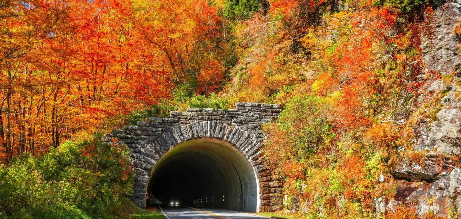
Things to Do · ~40 min to the Parkway from Pisgah Base Camp
The Blue Ridge Parkway
The most scenic stretch of America's favorite drive runs right above the house, with overlooks, waterfalls, and high-country trails strung along 40 miles of ridgeline.
Drive Time
~40 min
to the Wagon Road Gap entrance
The Corridor
~40 miles
of overlooks and trailheads
Speed Limit
45 mph
no commercial traffic, no lights
Fee
Free
no entrance fee, no gas on the road
What to Expect
America's favorite drive, at its best
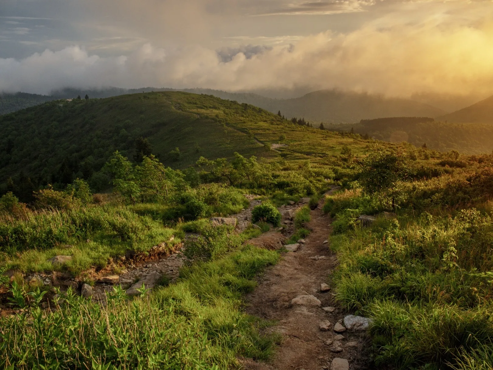
The Blue Ridge Parkway runs 469 miles through the Appalachians, and the stretch above the house is one of the finest on the whole road. From where US-276 meets the Parkway at Wagon Road Gap, the route spreads about 20 miles in each direction through what the Park Service calls the Pisgah region. This is the part people picture when they picture the Parkway: sweeping overlooks, waterfalls a short walk off the road, and treeless high-country summits over 6,000 feet.
It is built for slowing down. There are no traffic lights, no commercial trucks, and no billboards, just a 45 mph two-lane road that curves from overlook to overlook. You can make it a quick scenic loop or a full day of stops. Pull off for a view, walk to a waterfall, climb to a bald, and be back to the next overlook in minutes. The hardest part is deciding how much to fit in.
The corridor is dense with payoff. Heading south from the US-276 entrance you reach the Looking Glass Rock overlook, Graveyard Fields, the Black Balsam balds, and Devil's Courthouse within a few miles of each other. Heading north you find Mount Pisgah, the historic Pisgah Inn, the Fryingpan fire tower, and the Cold Mountain overlooks. Many of these have their own full guides on this site. This page is the map of the whole stretch.
The one thing to respect is that the Parkway is weather-dependent. It sits high, and it closes quickly and often for ice, snow, fog, and storms, especially in winter. It also has no gas stations anywhere on the road. Fill up in Brevard before you head up, check the road status the morning you go, and have a backup plan if a section is closed.
The Highlights
Marquee stops along the corridor
South to the High Country
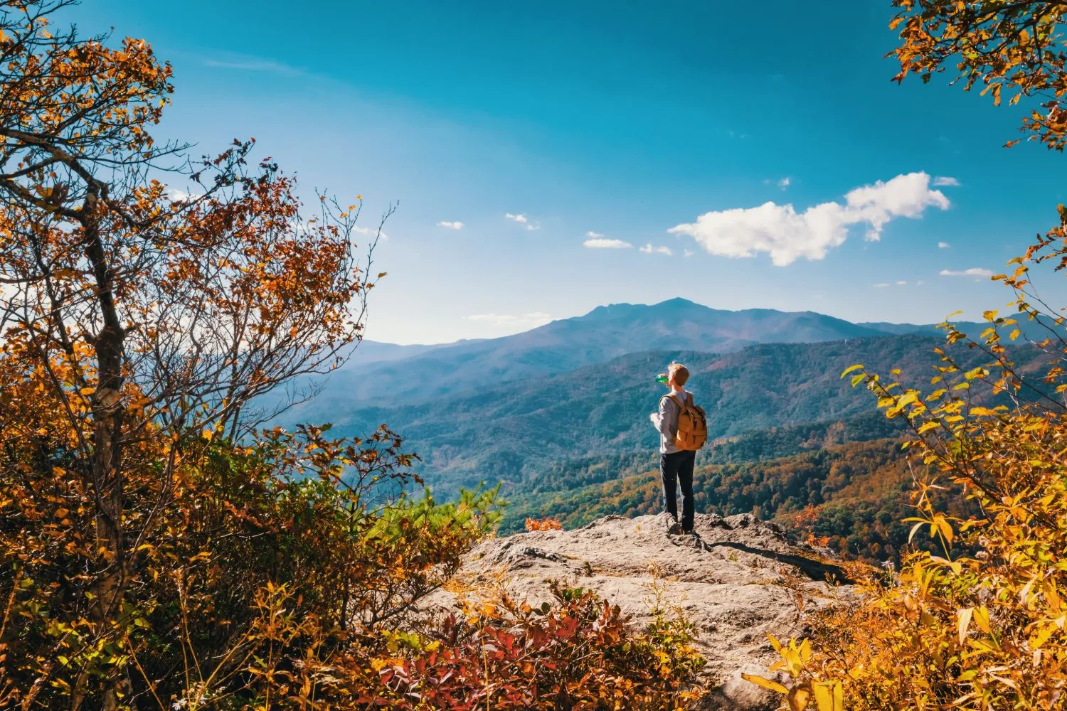
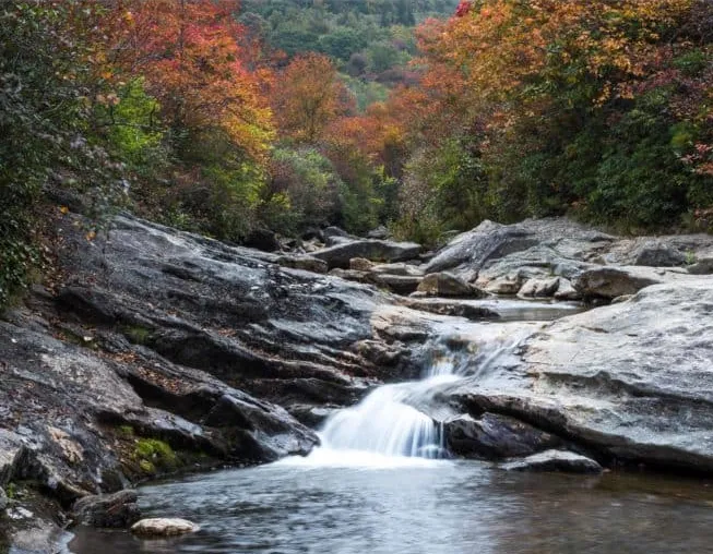
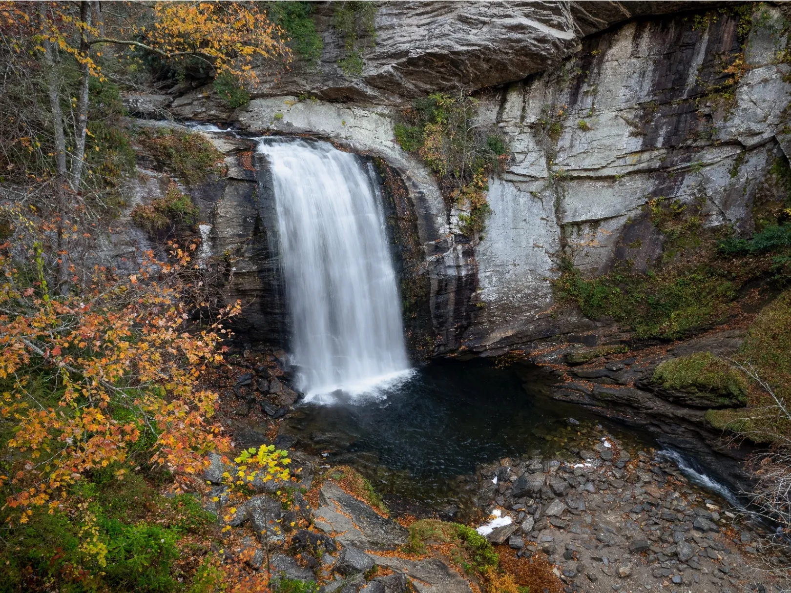
MP 417 to 422The famous stretch. The Looking Glass Rock overlook, Graveyard Fields and its waterfalls, the Black Balsam balds at over 6,000 feet, and Devil's Courthouse with its four-state view, all within five Parkway miles of each other. This is where most first-timers head.
North to Mount Pisgah
MP 408 to 412The historic hub. Mount Pisgah and its summit trail, the seasonal Pisgah Inn perched at 5,000 feet, the Buck Spring Lodge ruins from Vanderbilt's old hunting retreat, and the Cold Mountain overlooks named for the novel and film.
Hidden Gems
MP 409 to 417The quieter stops. The Fryingpan Mountain fire tower with a short walk to 360-degree views, the Pounding Mill overlook that draws monarch butterflies in early fall, and Skinny Dip Falls, a swimming hole a short walk off the Looking Glass Rock overlook.
Why We Love It
The easiest big day in the mountains
The Parkway is the move when you want the mountains to do the work. No hard hike required, no gear to sort, just a beautiful drive with as many stops as you feel like making. It is perfect for a rest day, a mixed group where not everyone wants to ride or climb, or a slow morning that turns into an all-day wander. One person can hike a summit while another reads at an overlook, and you all meet back at the car.
It is also the backbone that connects so much of what people come here for. Graveyard Fields, Black Balsam, Devil's Courthouse, Looking Glass Rock, they all hang off this one road. Drive it once and you will understand how the whole high country fits together, and you will know exactly where you want to spend more time on the next trip.
Backstory
A road built for the view
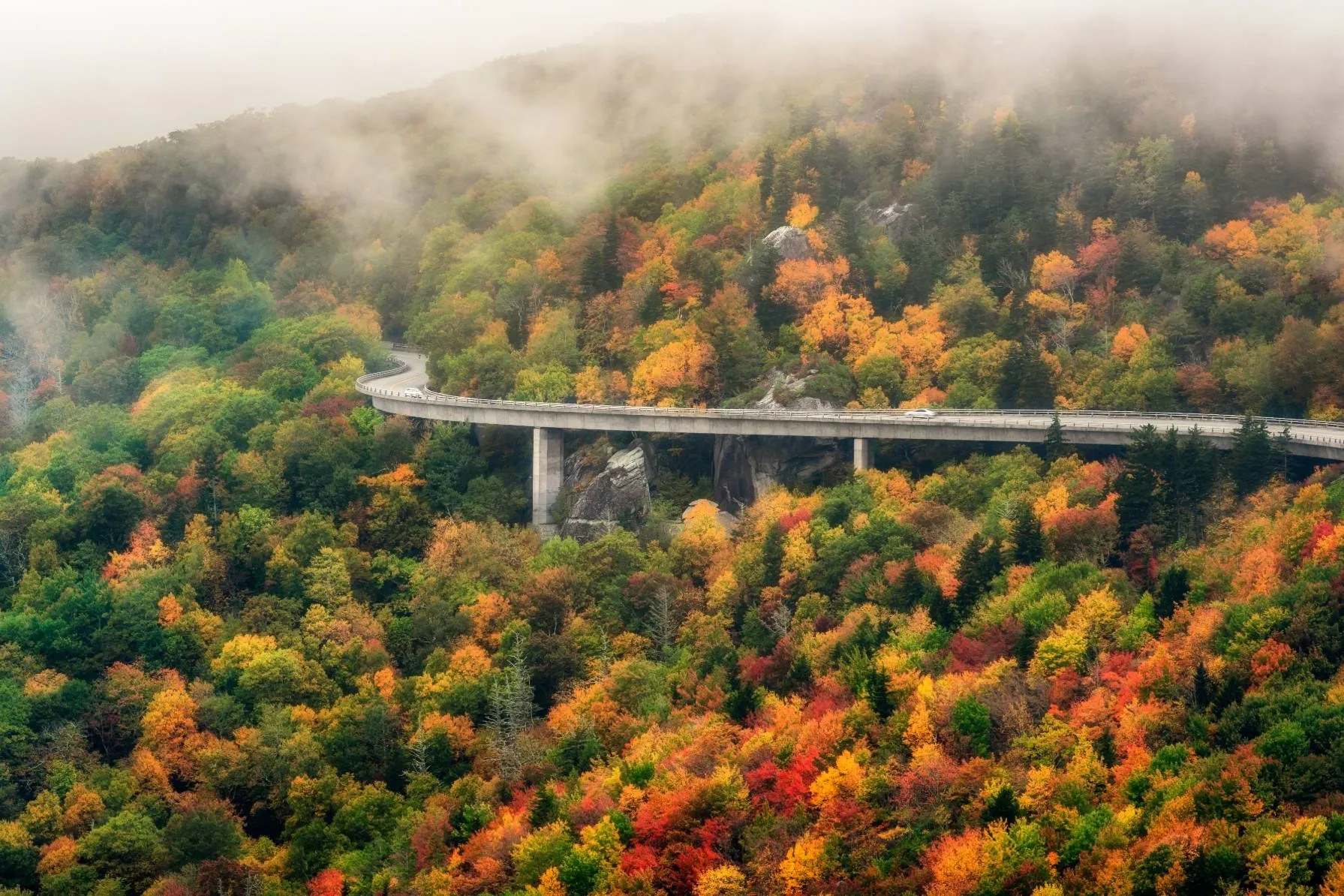
The Blue Ridge Parkway was a Depression-era project, started in 1935 to link Shenandoah National Park in Virginia to the Great Smoky Mountains, and it took more than 50 years to fully complete. It was designed from the start not as a way to get somewhere fast, but as a road to be enjoyed slowly, with overlooks placed to frame the best views and the route bent to follow the ridgelines.
This corridor carries deep local history. Wagon Road Gap, where US-276 meets the Parkway, sat on an old route over the mountains. The Shut-In Trail near Mount Pisgah was built by George Vanderbilt so he could ride horseback from the Biltmore Estate up to his hunting lodge at Buck Spring. And Cold Mountain, visible from the overlooks just north of the US-276 junction, gave its name to the Charles Frazier novel and the film that followed. You are driving through a landscape people have been drawn to for a very long time.
Know Before You Go
Plan the drive, then enjoy it
- Check the road status first. The Parkway closes in sections for ice, snow, fog, storms, and repairs. Look it up the morning you go at the National Park Service Parkway page.
- Fill up before you go. There are no gas stations anywhere on the Parkway. Top off in Brevard or Pisgah Forest first.
- Go early on weekends. Overlook and trailhead lots, especially Graveyard Fields and Black Balsam, fill by mid-morning on summer and fall weekends.
- Dress for elevation. The high stops run much cooler than the valley, with wind. Bring layers and a rain shell even on a warm day.
- Mind the season. The Pisgah Inn and campgrounds are seasonal, generally April through October. Winter often closes the high sections entirely.
- Watch your speed and the curves. The limit is 45 mph with lower zones, the road is winding, and wildlife is common. Motorcyclists and cyclists share the road.
- Download maps. Cell service is spotty to none up high. Have offline maps and tell someone your plan.
Safety First
Mountain road, mountain weather
- Weather changes fast and the road sits high. Fog and ice can appear with little warning, even when the valley is clear. If conditions turn, slow down or turn back.
- The Parkway closes for a reason when it closes. Do not drive around gates or barriers. Closures mean real hazards like ice, slides, or downed trees.
- Watch for cyclists, motorcyclists, and wildlife on blind curves. Use overlooks to let faster traffic pass.
- At the high trailheads, get off exposed summits by early afternoon in summer to avoid lightning.
- No gas, spotty cell service, and long gaps between services mean you should not head up on an empty tank or without a plan.
Directions
From Pisgah Base Camp to the Parkway
The closest and most scenic way onto the Parkway is up the US-276 corridor to Wagon Road Gap, at Milepost 412.2, where US-276 crosses the Parkway. From there you can turn south toward Graveyard Fields, Black Balsam, and Devil's Courthouse, or north toward Mount Pisgah and the Pisgah Inn.
- 1 From the house, head up the US-276 corridor toward the Blue Ridge Parkway.
- 2 Follow US-276 north, climbing through Pisgah National Forest, to the Parkway crossing at Wagon Road Gap (Milepost 412.2).
- 3 Turn south on the Parkway for the high country (Graveyard Fields, Black Balsam, Devil's Courthouse).
- 4 Or turn north for Mount Pisgah, the Pisgah Inn, the Fryingpan tower, and the Cold Mountain overlooks.
The Blue Ridge Parkway closes in sections for ice, snow, storms, and ongoing Helene repairs, with full reopening of remaining damaged NC sections targeted for end of 2026. Check current Parkway status before you go, and fill up on gas first.
Keep Exploring
Stops along this corridor
You Already Know the Trip You Want
An early start. A big day outside. Then a hot shower and a quiet night when you get back.
That's the trip. You just need the right place to do it from.
We'll help you sort out the plan before you get here. You bring the bikes, boots, rods, and the dog.