Pisgah Base Camp · Blue Ridge Mountains
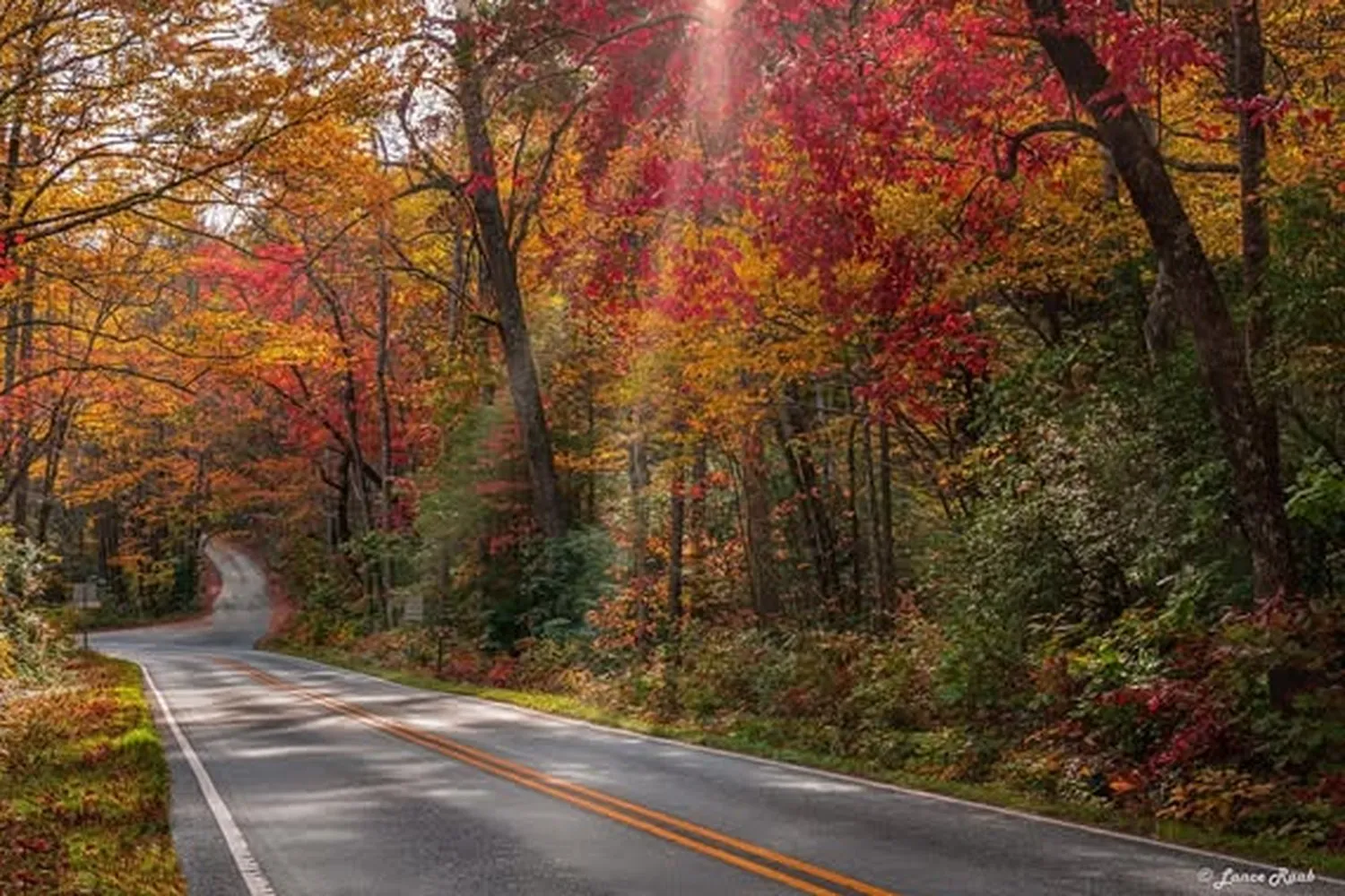
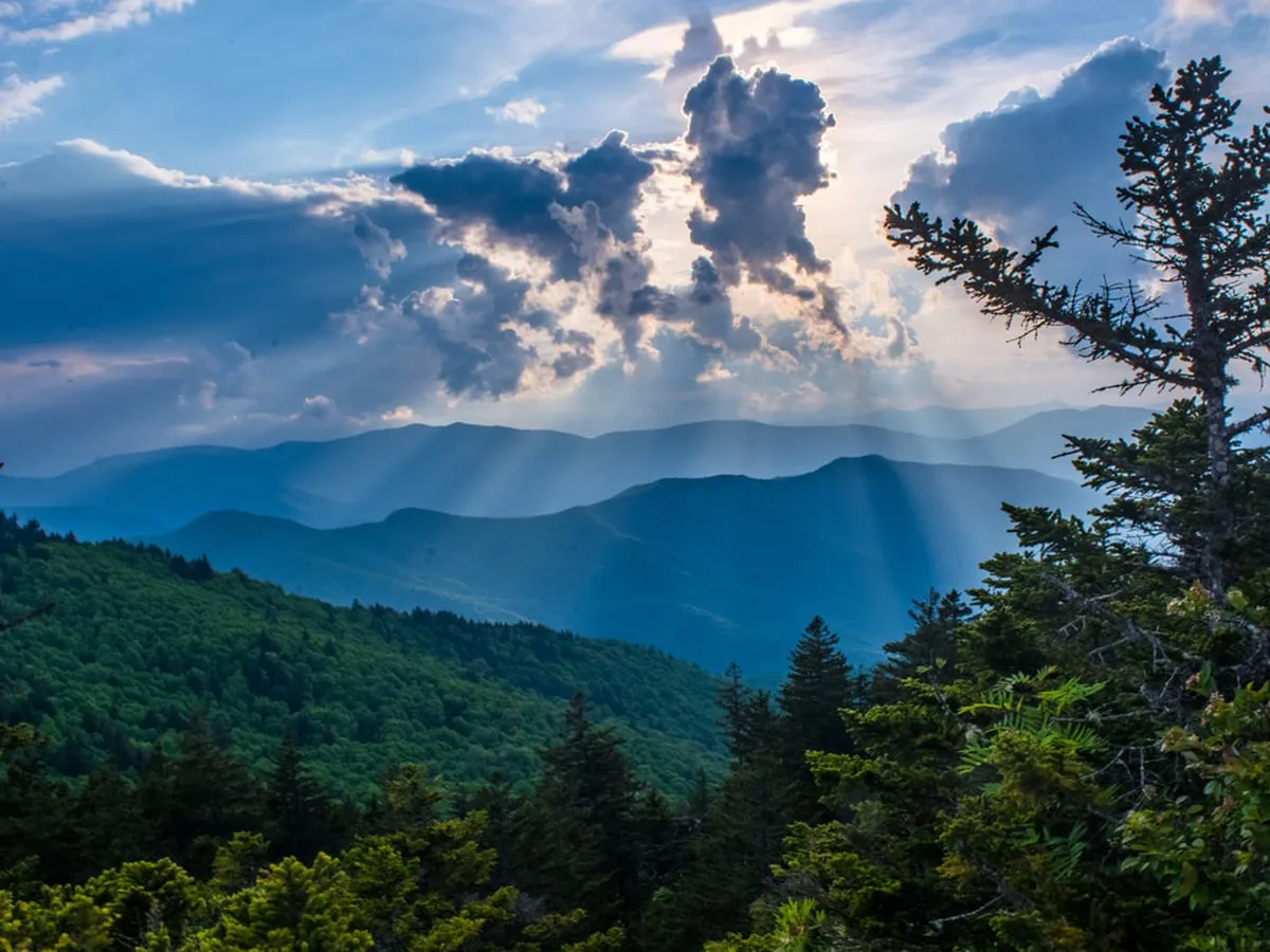
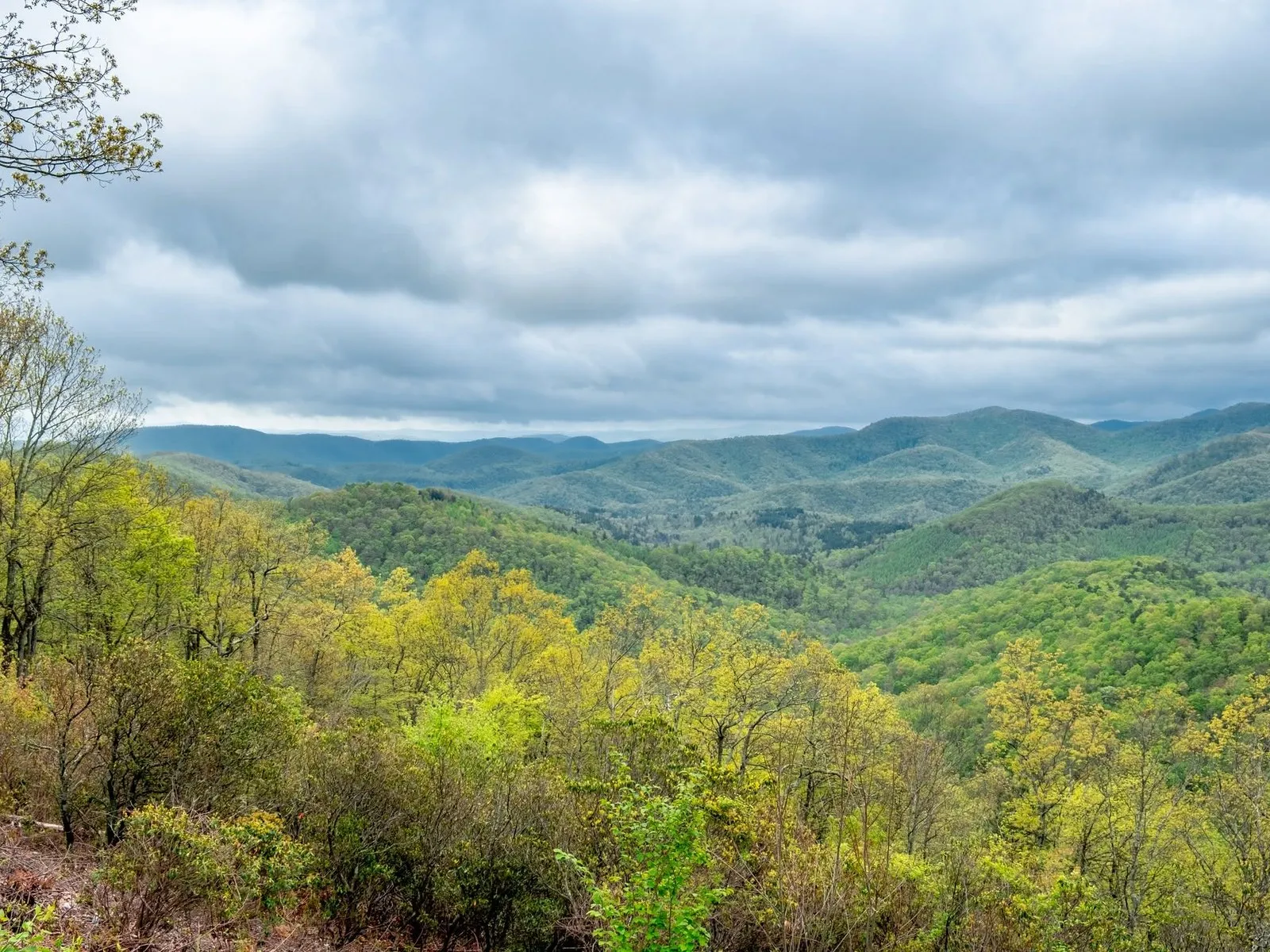
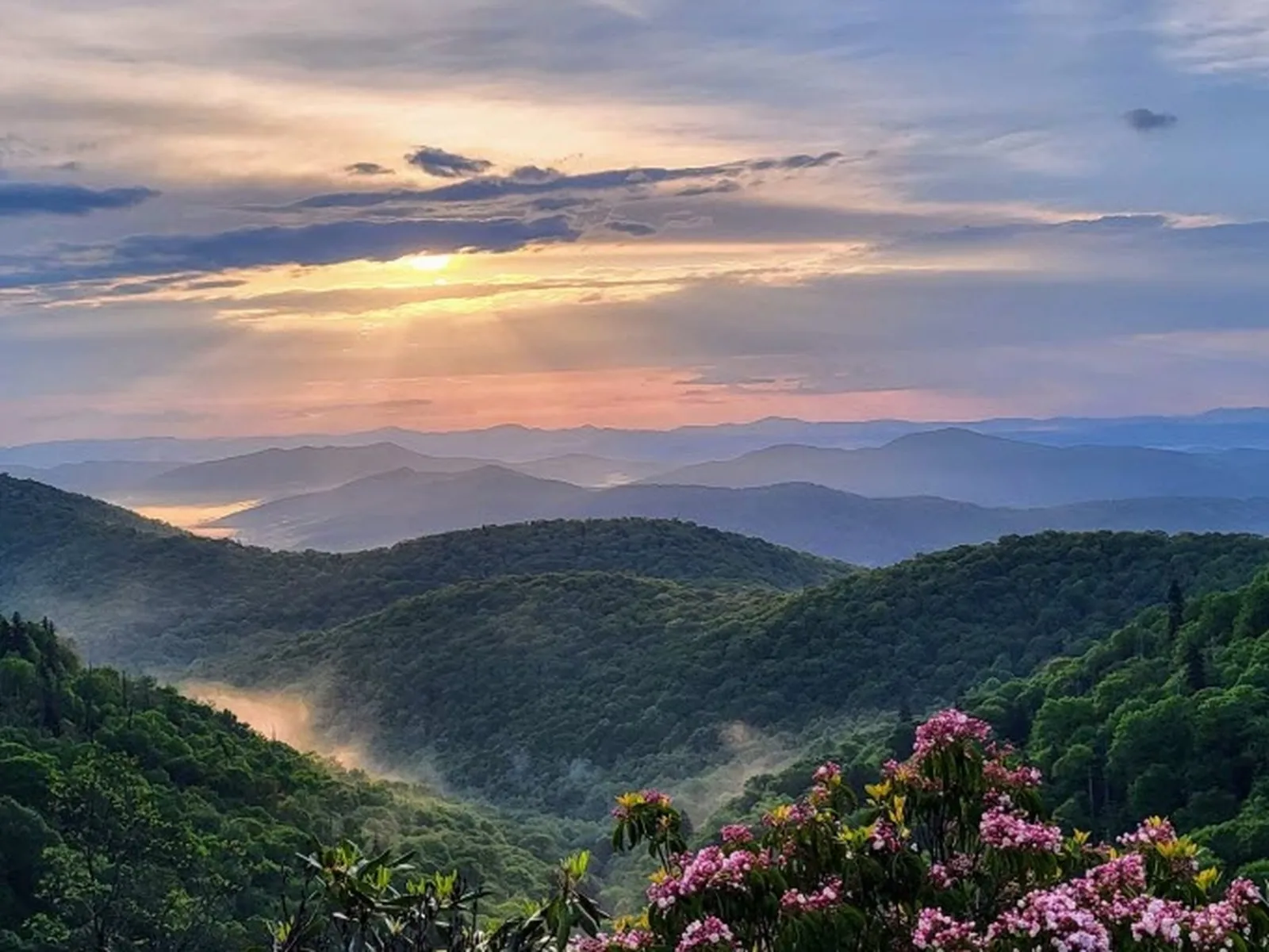
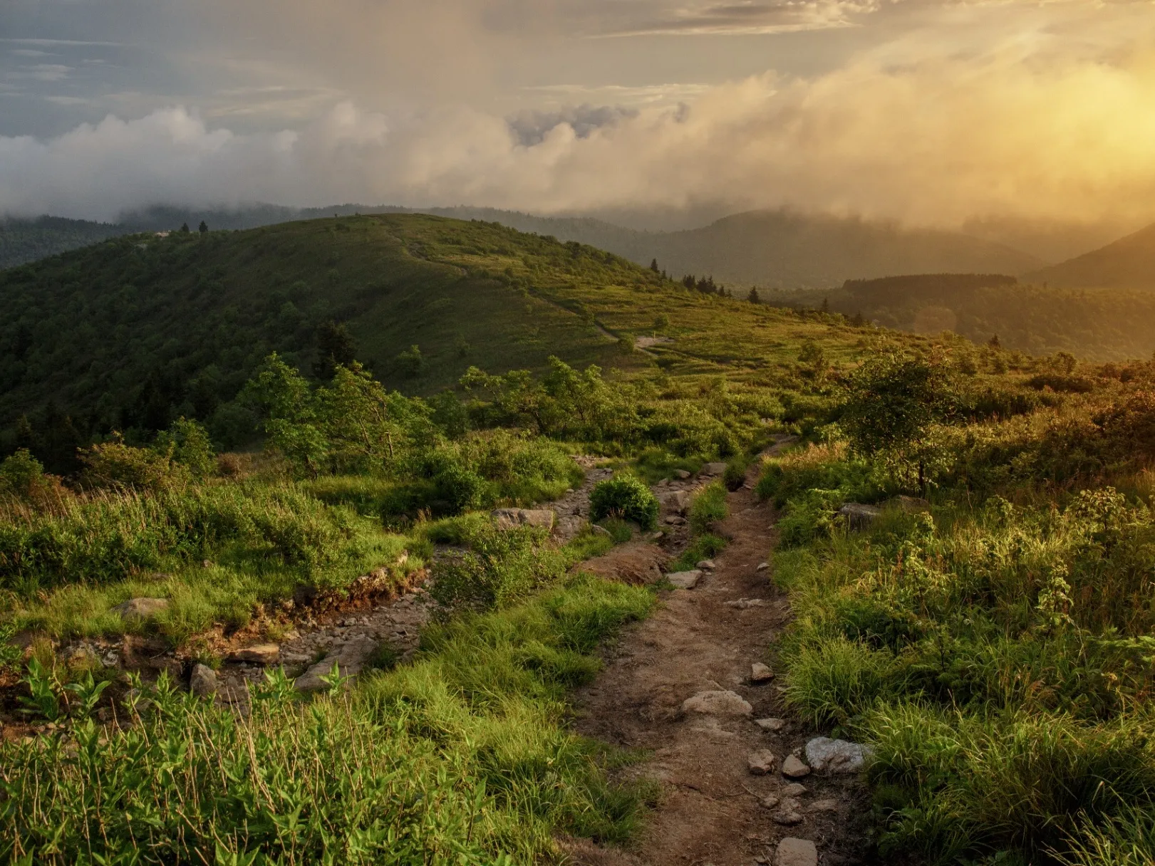
The Blue Ridge Parkway winding through the Pisgah region with layered mountain ridges in the distance

Complete Guide · Milepost 392 to 432

The Blue Ridge Parkway at US 276

The scenic drives, overlooks, trails, and waterfalls along the most-celebrated 40 miles of the Parkway — every major stop, from Mount Pisgah south to Cowee Mountain.

Drive Time

~40 min

to the Wagon Road Gap entrance

The Corridor

MP 392–432

40 miles of stops

Speed Limit

45 mph

no trucks, no traffic lights

Fee

Free

no entrance, no gas on the road

Good to know Closes fast for ice, snow, and storms · check current status before you go

The Anchor Point

Wagon Road Gap · Milepost 412.2

US Highway 276 meets the Blue Ridge Parkway at Milepost 412.2, a junction known as Wagon Road Gap. It's one of the most scenic and trail-rich crossings on the entire 469-mile Parkway, and the corridor running about 20 miles in each direction from this point holds some of the most-celebrated overlooks, hikes, and cultural landmarks on the whole road.

Driving south on US-276 from this intersection leads 18 miles through Pisgah National Forest to Brevard, passing Sliding Rock, Looking Glass Falls, and the Cradle of Forestry. Heading north on US-276 leads 22 miles to Waynesville and the Haywood County communities. The Parkway organization calls this stretch the Pisgah Region, and it's where most first-time visitors should head.

The Wagon Road Gap junction where US-276 crosses the Blue Ridge Parkway at Milepost 412.2 in Pisgah National Forest

Heading North from US 276

Milepost 412 → 392

The northern stretch is the historic hub. Mount Pisgah and the Pisgah Inn, the Vanderbilt-era Buck Spring Lodge ruins, the Cold Mountain overlooks, and the easy fire-tower walk on Fryingpan — all within ten miles of the US-276 entrance.

View across a valley to the south face of Cold Mountain from a Blue Ridge Parkway overlook
MP 411.9

Cold Mountain Overlooks

Just 0.3 miles north of the US-276 crossing, the Cold Mountain Overlooks look across the valley at the actual mountain that inspired Charles Frazier's 1997 National Book Award novel and the 2003 film with Jude Law and Nicole Kidman. The south face sits at 6,030 feet inside the Shining Rock Wilderness, and stays in its wild, natural state.

At Milepost 412.2 (the Wagon Road Gap parking area), pull in and walk a short distance north along the shoulder for the clearest view, unobstructed by trees. Reaching the actual summit is a strenuous 10-mile round-trip hike, so most visitors are happy to look at it from here.

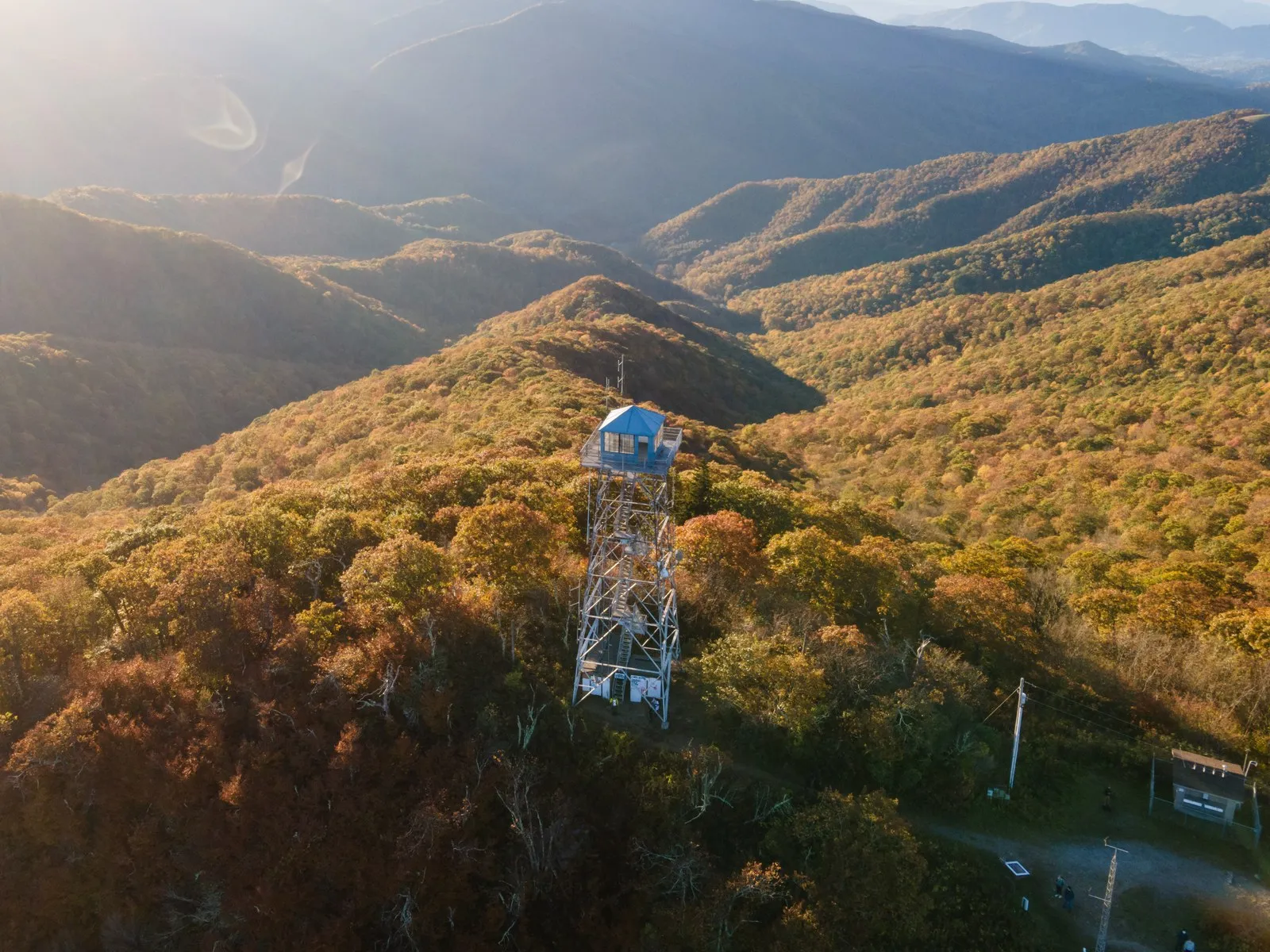
Historic fire lookout tower at the top of Fryingpan Mountain with the surrounding mountains visible through the steel framework
MP 409.6

Fryingpan Mountain Lookout Tower

One of the most rewarding short walks on this stretch of Parkway. A gated gravel Forest Service road (FS Road 450) climbs 1.5 miles round trip to the Fryingpan Mountain Lookout Tower at 5,340 feet, where the cabin platform opens to a 360-degree panorama. On a clear day you can see Looking Glass Rock, Black Balsam Knob, and the distant peaks of the Smokies.

Built originally for spotting fires across the national forest, the tower is now a hidden gem with minimal elevation gain — family-friendly, free, and open year-round when the Parkway is. The gate stays closed to vehicles, so just park to the side without blocking it.

  • Trailhead MP 409.6, gated gravel road on the right (southbound)
  • Distance 1.5 miles round trip
  • Difficulty Easy to Moderate
  • Fee None
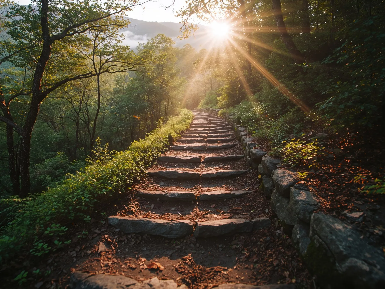
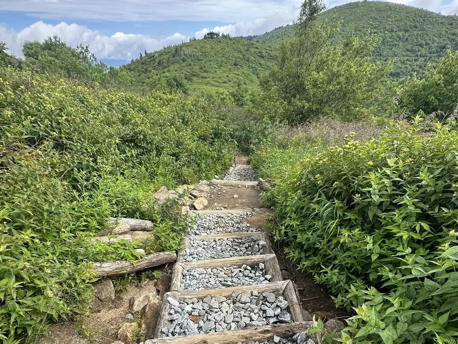
Stone steps ascending through the forest on the Mount Pisgah Trail with sunlight breaking through the canopy Pisgah Inn bedroom with a panoramic Blue Ridge mountain view through the windows and sliding glass door
MP 408.6

Mount Pisgah & the Pisgah Inn

The Mount Pisgah area is the major hub of the northern half of this corridor. Trails, lodging, dining, camping, and overlooks all sit within walking distance of one parking area.

The Mount Pisgah Trail climbs to the iconic tower atop the 5,721-foot summit, 2.4 miles out-and-back with 712 feet of gain — a moderate workout that pays off with one of the best views in the corridor. The Buck Spring Trail leaves the same lot and descends to the foundations and surviving springhouse of Buck Spring Lodge, George Vanderbilt's rustic chestnut-log hunting retreat. Vanderbilt began the lodge in 1896 as a summer escape from Biltmore House, with electricity, indoor plumbing, a tennis court, and an orchard. The family used it for nearly 60 years until Edith Vanderbilt's death in 1958. The buildings were demolished in 1961 when the land was transferred to the Park Service for Parkway construction.

The Shut-In Trail — 17 miles from the French Broad River valley up to the Parkway near Milepost 408 — was originally built by Vanderbilt so he could ride horseback from Biltmore House to Buck Springs. Today it's one of the most popular long day hikes and overnight routes in the area.

The Pisgah Inn, perched at about 5,000 feet, is one of only two lodges still operating on the entire 469-mile Parkway. Motel-style rooms with private porches, a full-service restaurant by reservation, and a grab-and-go café. Open seasonally, April 1 through October 31, with reservations up to 14 days out. A 50-site picnic area is one of the most-used on the Parkway.

  • Mount Pisgah Trail 2.4 mi RT, 712 ft gain, moderate
  • Buck Spring Trail Short walk to Vanderbilt lodge ruins
  • Shut-In Trail (terminus) 17-mile historic trail from French Broad
  • Pisgah Inn Seasonal lodge & restaurant, Apr–Oct
  • Picnic Area 50 sites, high-elevation views
The Mount Pisgah communications tower silhouetted above the tree line, viewed from the roadside overlook with rhododendrons in bloom
MP 407.6

Mount Pisgah Overlook

The roadside view of the Mount Pisgah summit, with the distinctive tower silhouetted against the sky. Two large parking lots flank both sides of the Parkway, with excellent views in every direction.

This is one of the most-photographed spots on the corridor. Stop here on a clear day for the classic shot, then keep going to the trailhead lot at MP 408.6 if you want to climb to the tower itself.

Sweeping westward view from a Blue Ridge Parkway overlook across the Hominy and Mills River valleys with layered ridges in the distance
MP 403–404

Valley Overlooks

As the Parkway descends north toward Asheville, a string of quieter overlooks open onto the valleys to the west. These get a fraction of the traffic of Mount Pisgah and are easy places to pull off, stretch, and look out without crowds.

  • View Hominy Valley Overlook MP 404 · west into pastoral Hominy Valley
  • Mills River Valley Overlook MP 404 · into the Mills River watershed
  • Big Ridge Overlook MP 403 · elevated ridge views
  • Stoney Bald Overlook MP 402 · open high-ridge views
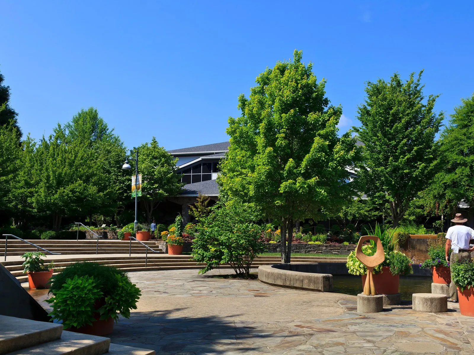
Cultivated gardens and walking paths at the North Carolina Arboretum near the northern end of the Pisgah corridor of the Blue Ridge Parkway
MP 393.6

NC 191 · North Carolina Arboretum

At the northern end of this 40-mile corridor, the Parkway crosses NC Route 191 right next to the North Carolina Arboretum — 434 acres of formal and naturalistic gardens, with trails, a bonsai exhibition garden, and a quilt garden. Particularly worth the stop during spring wildflower season and fall color.

This junction is also the nearest Parkway access from I-26 (Exit 33), so it makes a clean turnaround if you started in the south and want to drop into Asheville for the night.

Heading South from US 276

Milepost 412 → 432

The southern stretch is the high country. Looking Glass Rock, Graveyard Fields, the Black Balsam balds at over 6,000 feet, Devil's Courthouse with its four-state view, and Cowee Mountain at the southern end — some of the most famous stops on the whole 469-mile road, all within twenty miles of each other.

A sweeping 240-degree view from the Pounding Mill Overlook looking out across Pounding Mill Branch toward Looking Glass Rock
MP 413.2

Pounding Mill Overlook

One of the best vantage points on the Parkway for viewing Looking Glass Rock. The overlook curves through about a 240-degree vista above Pounding Mill Branch — a creek named for the hammer-type corn grinding mills that once operated along it.

Local naturalists call this the best spot on the Parkway for watching monarch butterfly migration. In early fall the monarchs drift south through here on their way to Mexico, and you can sometimes see dozens at a time working the milkweed.

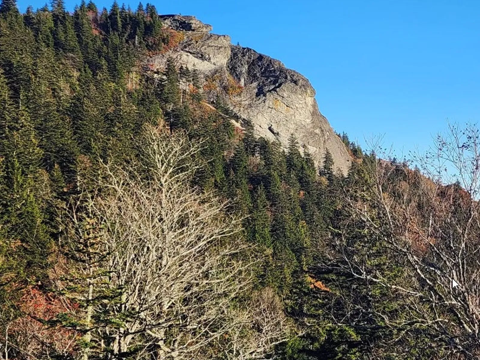
The massive sheer granite dome of Looking Glass Rock rising above the surrounding forest, viewed from the Blue Ridge Parkway overlook
MP 417.0

Looking Glass Rock Overlook & Skinny Dip Falls

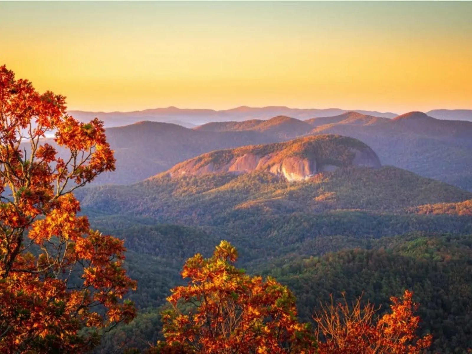
One of the most dramatic and iconic roadside views on the entire Parkway. From the overlook you gaze east at the massive granite dome of Looking Glass Rock — one of the largest exposed plutons in the Southeast, rising to 3,969 feet. The name comes from the sheer cliff face, which reflects sunlight brilliantly when wet or iced over, shining like a mirror.

Best photographed in late afternoon, when the western sun lights the cliff straight on.

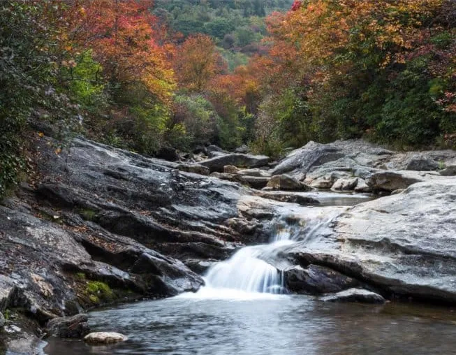
Directly across the Parkway from the parking area (no formal sign), the Mountains-to-Sea Trail leads 0.9 miles to Skinny Dip Falls — a cascading waterfall tumbling into a deep, emerald-green swimming hole. The trail gains only 187 feet and is accessible for most hikers. The pool is one of the most beloved summer destinations in the region, and the name is a long-standing local tradition. Check the current trail status before visiting; storm damage has closed it in past years.

  • Looking Glass Rock hike 6.2 mi RT, 1,600 ft gain · trailhead on US-276, not here
  • Skinny Dip Falls 0.9 mi one way via Mountains-to-Sea Trail
  • Best time at overlook Late afternoon for cliff illumination
Quiet, long-range view from the East Fork Overlook above the East Fork of the Pigeon River
MP 418.3

East Fork Overlook

Views into the East Fork of the Pigeon River — the mountain headwaters of one of the major river systems flowing north toward Waynesville. A quiet, often-empty stop with good long-range views. Worth a pull-off if you've got the time.

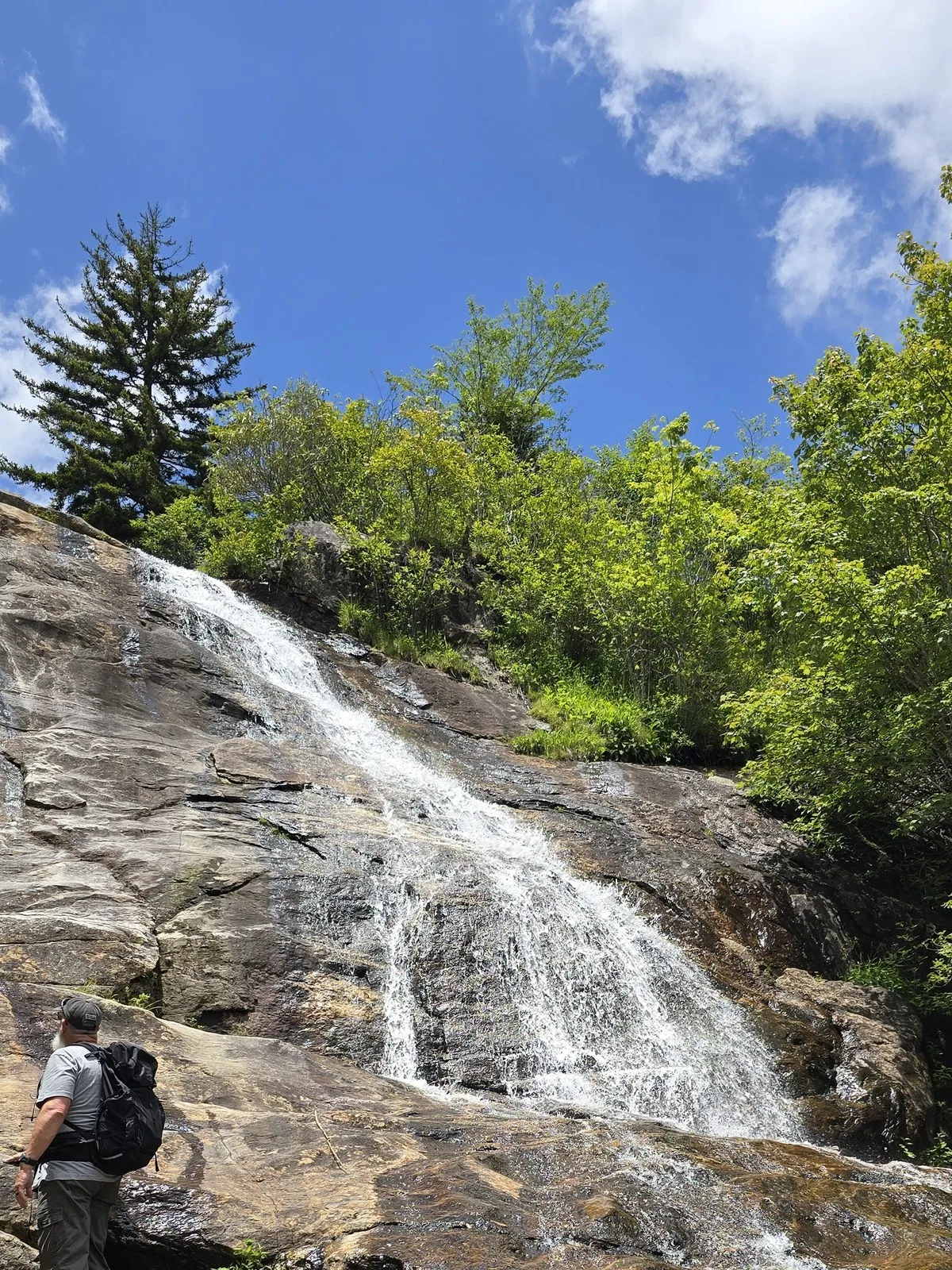
Upper Falls at Graveyard Fields cascading down a granite rock face, a hiker standing at the base for scale
MP 418.8

Graveyard Fields

One of the most popular hiking destinations on the entire Parkway. Graveyard Fields packs accessible waterfalls, sweeping high-meadow views, and a uniquely haunting landscape into one easy loop. The name comes from a 1925 forest fire so hot it sterilized the soil; the bleached trunks and stumps left behind looked like grave markers poking up from the earth.

The valley sits above 5,000 feet — a flat, high-altitude basin carved by water and time. The full loop is 3.5 miles with 450 feet of gain, rated easy to moderate, and works for most families.

Lower Falls (Yellowstone Falls) is less than a mile from the trailhead: wide, multi-tiered cascades into a wide pool popular for summer wading, with wooden and stone steps down to a large viewing area. Upper Falls is about 1.7 miles in via a spur — narrower, taller, framed by boulders and dense vegetation, and much quieter. The loop also crosses open meadow and boardwalks over the Yellowstone Prong, and in mid-to-late August the wild blueberries ripen in abundance.

  • Loop distance 3.5 miles
  • Elevation gain 450 feet
  • Difficulty Easy–Moderate
  • Lower Falls ~0.5 miles from trailhead
  • Upper Falls ~1.7 miles from trailhead
  • Facilities Parking lot, vault toilets
  • Fee None
Open grassy bald on Black Balsam Knob with rocky outcrops and 360-degree views into the Shining Rock Wilderness
MP 420.2

Black Balsam Knob Road

The spur road at MP 420.2 runs 0.7 miles to the trailhead for Black Balsam Knob (6,214 ft) and Sam Knob (6,045 ft) — two of the most spectacular open summits in the eastern United States. Treeless balds, 360-degree views, and direct access to the Art Loeb Trail and the Shining Rock Wilderness.

This is its own destination and gets its own full guide on the site.

A hiker at the rocky summit of Devil's Courthouse looking out across a 360-degree panorama of layered mountain ridges
MP 422.4

Devil's Courthouse

A dramatic 5,720-foot summit with a near-vertical rock face and an extraordinary 360-degree view. The parking area on the south side of the road accesses a 0.8-mile round-trip trail that climbs steeply through rhododendron and spruce-fir forest to the rocky summit. The grade is strenuous, but the distance is short enough for most fit visitors.

From the top, on a clear day, you can see into four states — North Carolina, South Carolina, Georgia, and Tennessee. The view extends across the Great Balsams, the Nantahalas, and on exceptional days, the distant peaks of the Great Smokies.

Cherokee legend holds that the great spirit Judaculla held court — and meted out justice — inside the mountain's hollow rock. The English name is a translation of that legend.

  • Distance 0.8 miles round trip
  • Difficulty Strenuous (steep grade)
  • Parking Large lot with good roadside views
Sunburst Falls dropping through a beautiful stone bridge setting on NC 215 north of the Blue Ridge Parkway
MP 423.3

NC 215 Crossing

A second access road connecting the Parkway to the regional highway network. Heading north on NC 215 leads 8.6 miles to the Sunburst Campground area, where Sunburst Falls drops through a beautiful stone bridge setting accessible right from the roadside.

The Middle Prong Wilderness — a less-visited wild area containing Buckeye Falls and miles of backcountry trails — is accessible from Parkway trailheads at Milepost 425.5 (Buckeye Gap) and Milepost 426.7 (Haywood Gap).

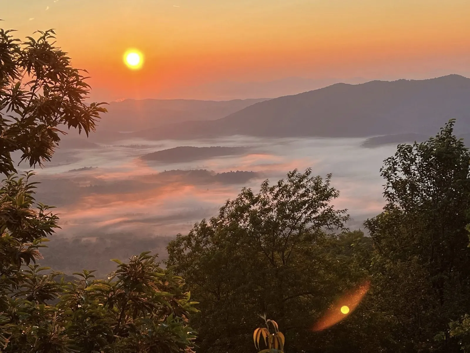
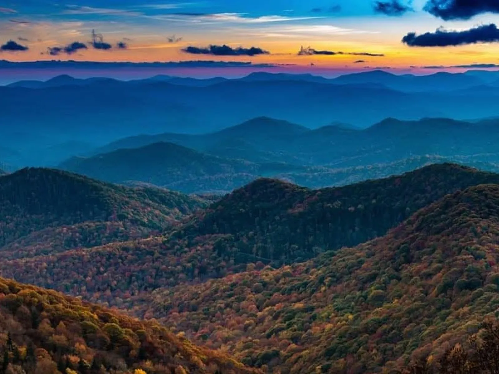
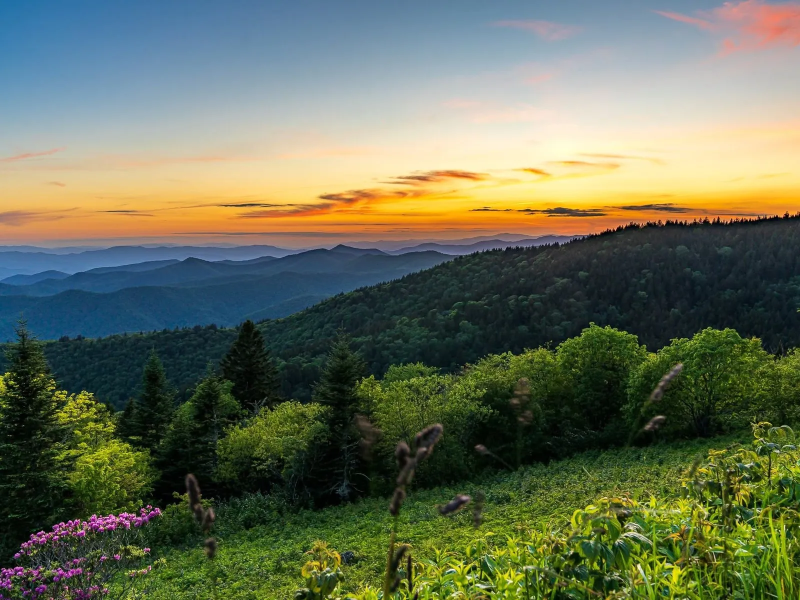
Layered mountain ridges fading into the distance at sunset from Cowee Mountain Overlook on the Blue Ridge Parkway
MP 430.7

Cowee Mountain Overlook

Just outside the strict 20-mile radius from the US-276 crossing, but worth including as a destination anchor. Cowee Mountain Overlook sits at 5,950 feet and is consistently ranked among the top ten overlooks on the entire 469-mile Parkway. Facing southeast, it offers a greater-than-180-degree unobstructed panorama of layered ridges and valleys, with most trees below the overlook's sightline.

An ideal picnic stop and photography location, especially in afternoon light and at golden hour.

Seasonal Highlights

A different drive in every season

Spring (Apr–May)

Wildflowers along the corridor and at the NC Arboretum; the Pisgah Inn opens April 1; fewer crowds; rhododendron bloom from mid-May into June.

Summer (Jun–Aug)

Swimming at Skinny Dip Falls and Graveyard Fields Lower Falls; full dining at the Pisgah Inn; wild blueberries ripen at Graveyard Fields in August; all facilities open.

Fall (Sep–Oct)

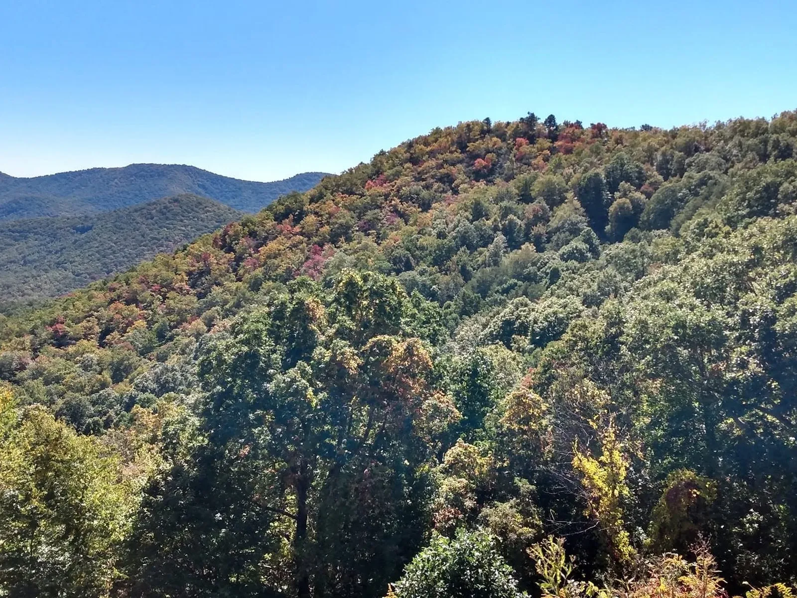
Monarch butterfly migration at Pounding Mill in early October; peak fall color at high elevations in late September; some of the best foliage on the entire East Coast.

Winter (Nov–Mar)

The Parkway closes often for ice; the Pisgah Inn closes; limited access via US-276 to the lower attractions in Pisgah National Forest.

Know Before You Go

Plan the drive, then enjoy it

  • Check the road status first. The Parkway closes in sections for ice, snow, fog, storms, and repairs. Look it up the morning you go.
  • Fill up before you go. There are no gas stations anywhere on the Parkway. Top off in Brevard or Pisgah Forest first.
  • Go early on weekends. Overlook and trailhead lots — especially Graveyard Fields and Black Balsam — fill by mid-morning in summer and fall.
  • Dress for elevation. The high stops run much cooler than the valley, with wind. Bring layers and a rain shell even on a warm day.
  • Mind the season. The Pisgah Inn and campgrounds are seasonal, generally April through October. Winter often closes the high sections entirely.
  • Watch your speed and the curves. The limit is 45 mph with lower zones, the road is winding, and wildlife is common. Cyclists and motorcyclists share the road.
  • Download maps. Cell service is spotty to none up high. Have offline maps and tell someone your plan.

Safety First

Mountain road, mountain weather

  • Weather changes fast and the road sits high. Fog and ice can appear with little warning, even when the valley is clear. If conditions turn, slow down or turn back.
  • The Parkway closes for a reason when it closes. Do not drive around gates or barriers. Closures mean real hazards like ice, slides, or downed trees.
  • Watch for cyclists, motorcyclists, and wildlife on blind curves. Use overlooks to let faster traffic pass.
  • At the high trailheads, get off exposed summits by early afternoon in summer to avoid lightning.
  • No gas, spotty cell service, and long gaps between services mean you should not head up on an empty tank or without a plan.

Getting On the Parkway

Key access points

From

Brevard / Pisgah Forest

US-276 north through Pisgah National Forest → Milepost 412.2 · ~18 miles

From

Asheville

Blue Ridge Parkway south from MP 393.6 (NC 191 at NC Arboretum) → drive south into the corridor · ~20 miles

From

Waynesville

US-276 south → Milepost 412.2 · ~22 miles

From

Southern approach

NC 215 north → Milepost 423.3

Reference

Milepost chart

The whole corridor at a glance, ordered north to south. The Wagon Road Gap entrance at Milepost 412.2 is the anchor.

MP Feature Notes
393.6 NC 191 / NC Arboretum Nearest from Asheville / I-26
402–404 Valley Overlooks Big Ridge, Stoney Bald, Hominy Valley, Mills River
407.6 Mount Pisgah Overlook Iconic tower view
407.7 Buck Spring Lodge Site Vanderbilt hunting lodge ruins
408.6 Mount Pisgah / Pisgah Inn Summit, Buck Spring, dining, camping
409.6 Fryingpan Mountain Tower 1.5 mi RT, 360° fire-tower views
411.9–412.2 Cold Mountain Overlooks The view from the novel and film
412.2 US-276 · Wagon Road Gap Gateway from Brevard & Waynesville
413.2 Pounding Mill Overlook Monarch migration in early October
417.0 Looking Glass Rock Overlook + Skinny Dip Falls 0.9 mi to swimming hole
418.3 East Fork Overlook Pigeon River headwaters
418.8 Graveyard Fields 3.5 mi loop, two waterfalls, meadows
420.2 Black Balsam Knob Road Black Balsam (6,214 ft) and Sam Knob
422.4 Devil's Courthouse 0.8 mi RT to 5,720 ft summit, 4-state views
423.3 NC 215 Crossing Sunburst Falls, Middle Prong Wilderness
430.7 Cowee Mountain Overlook Top-10 Parkway overlook, 5,950 ft
About 40 minutes

Directions

From Pisgah Base Camp to the Parkway

The closest and most scenic way onto the Parkway is up the US-276 corridor to Wagon Road Gap at Milepost 412.2. From there you can turn south toward Graveyard Fields, Black Balsam, and Devil's Courthouse, or north toward Mount Pisgah and the Pisgah Inn.

  1. 1 From the house, head up the US-276 corridor toward the Blue Ridge Parkway.
  2. 2 Follow US-276 north, climbing through Pisgah National Forest, to the Parkway crossing at Wagon Road Gap (Milepost 412.2).
  3. 3 Turn south on the Parkway for the high country (Graveyard Fields, Black Balsam, Devil's Courthouse, Cowee Mountain).
  4. 4 Or turn north for Mount Pisgah, the Pisgah Inn, the Fryingpan tower, and the Cold Mountain overlooks.
Open Driving Directions

The Blue Ridge Parkway closes in sections for ice, snow, storms, and ongoing Helene repairs, with full reopening of remaining damaged NC sections targeted for end of 2026. Check current Parkway status before you go, and fill up on gas first.

Keep Exploring

Stops along this corridor

You Already Know the Trip You Want

An early start. A big day outside. Then a hot shower and a quiet night when you get back.

That's the trip. You just need the right place to do it from.

We'll help you sort out the plan before you get here. You bring the bikes, boots, rods, and the dog.