Pisgah Base Camp · Blue Ridge Mountains
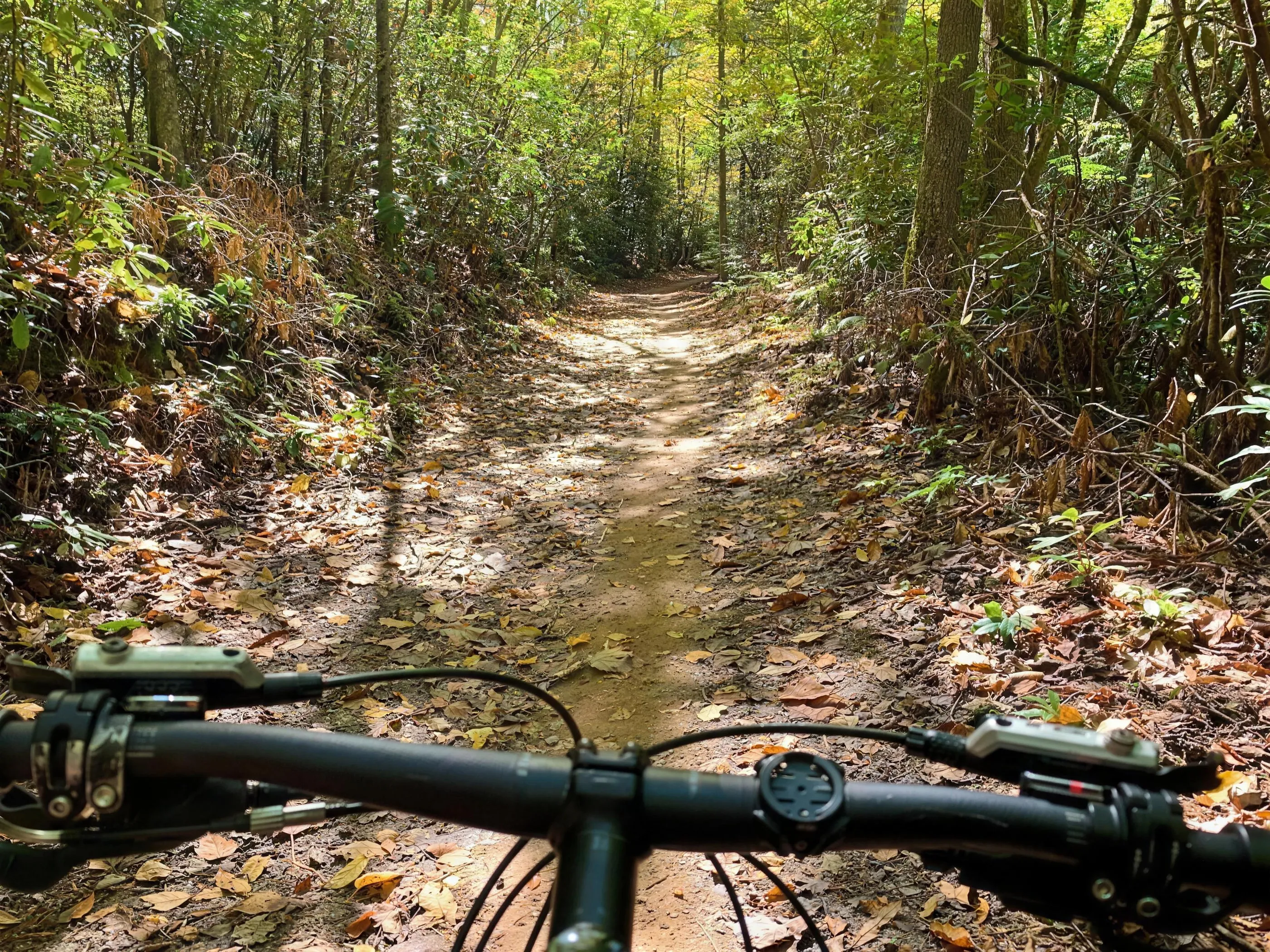
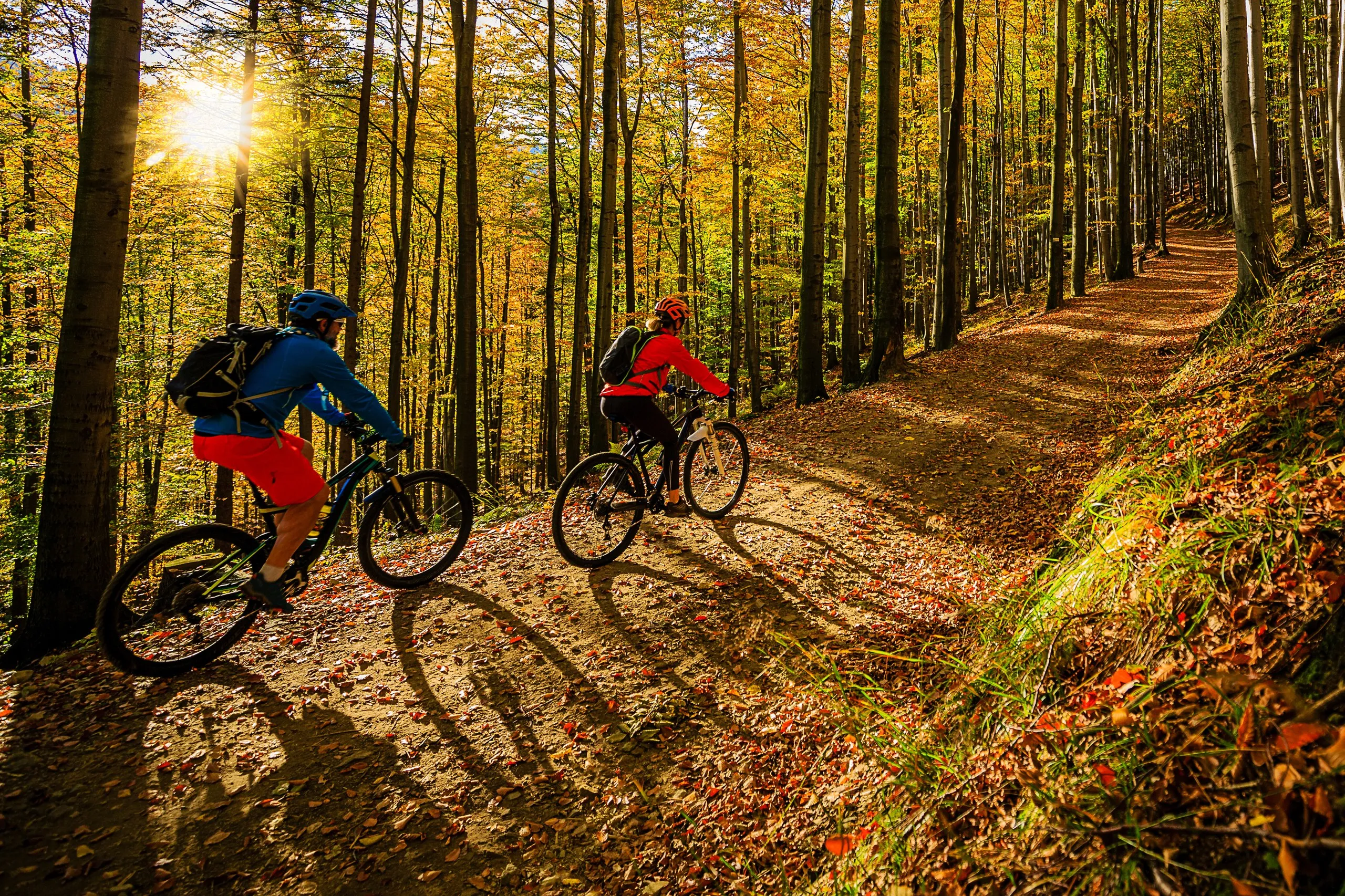
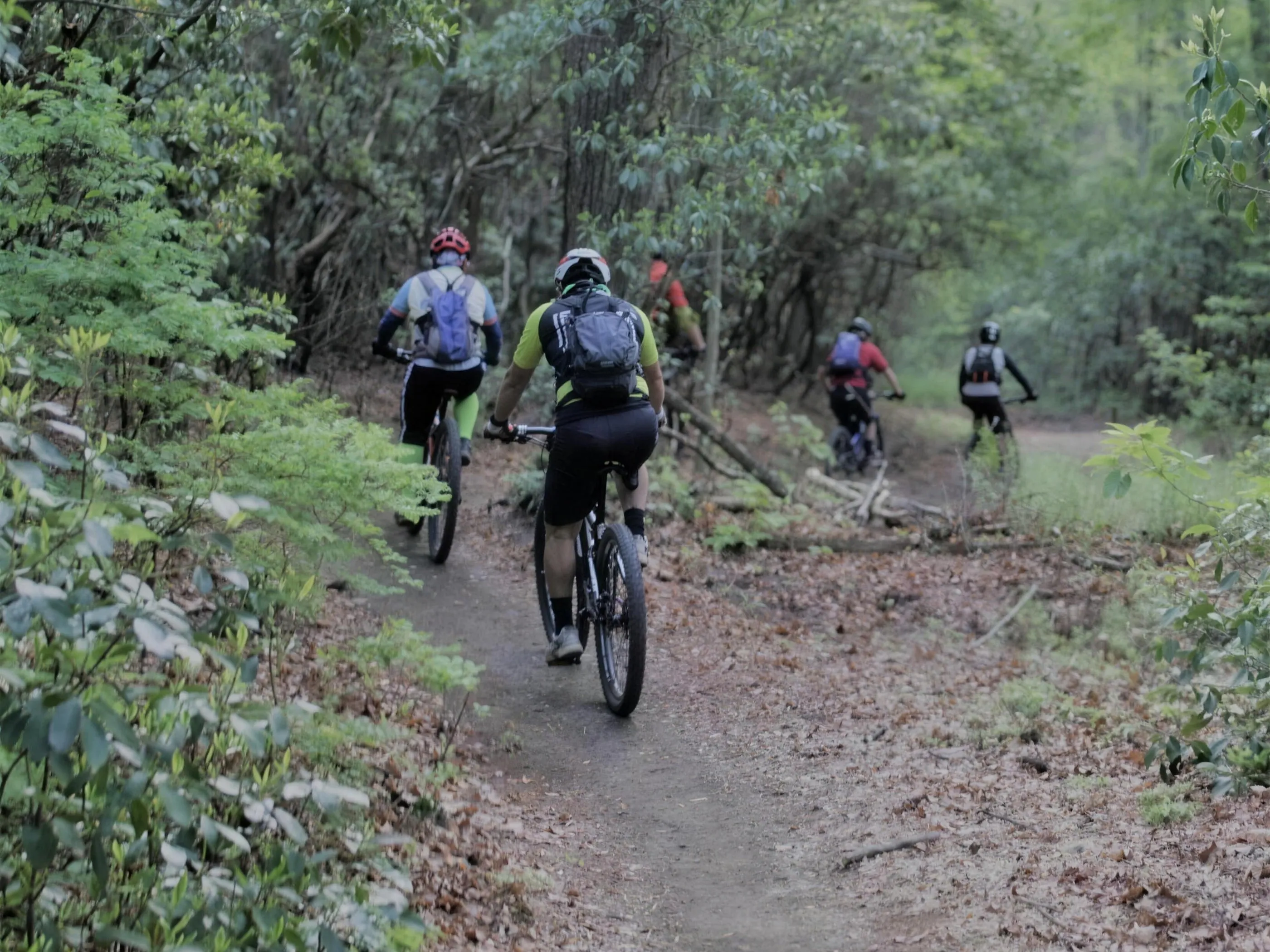
Two mountain bikers riding a leaf-covered singletrack through a sunlit fall hardwood forest

Mountain Bike Guide · Rides from Pisgah Base Camp

Mountain Biking Around Pisgah Base Camp

Ten rides from beginner flow to expert gnar, all within reach of the house. Here is how to pick the right one for your legs, your group, and the day you want.

Closest Riding

~15 min

DuPont (Lake Imaging)

Two Worlds

DuPont & Pisgah

flow vs. technical

Range

Beginner to expert

10 rides

Bring

Full-suspension

for Pisgah, helpful in DuPont

Good to know Pisgah rides harder than its rating · always check current trail and road status before you go

This corner of North Carolina is one of the best places to ride a mountain bike in the country, and it gives you two very different worlds within a few minutes of each other. DuPont is mostly flow: smooth, fast, machine-built descents and granite slabs that reward you without trying to hurt you. Pisgah is the opposite: steep, rocky, rooty, old-school riding that earns its reputation and rides harder than its rating. The trick is matching the ride to where you actually are as a rider.

If this is your first time on this dirt, start in DuPont to dial in your legs and your line choice, then step up to Pisgah when you are ready. Here are 10 rides, grouped from easiest to hardest.

Group 1

Beginner

Start here if you are new to riding, new to this area, or just shaking out the legs on day one. These are the rides where you build confidence before Pisgah asks more of you.

Beginner ~18 min to Brevard · 3 to 10 mi · flat · paved and crushed gravel

Brevard Greenway & Davidson River Trail

This is the true beginner ride and the perfect day-one shakeout after a long drive in. The Brevard Greenway is a smooth paved and crushed-gravel path with a flat riverside section, starting right from town. You can make it anything from a 3-mile spin to a 10-mile out-and-back, with almost no climbing and no technical features at all.

It is ideal for first-timers, kids, or anyone who wants to loosen up the legs without committing to real trail. There is nothing gnarly here, just easy miles along the water. Spin out, turn around when you feel like it, and save the energy for the bigger days ahead.
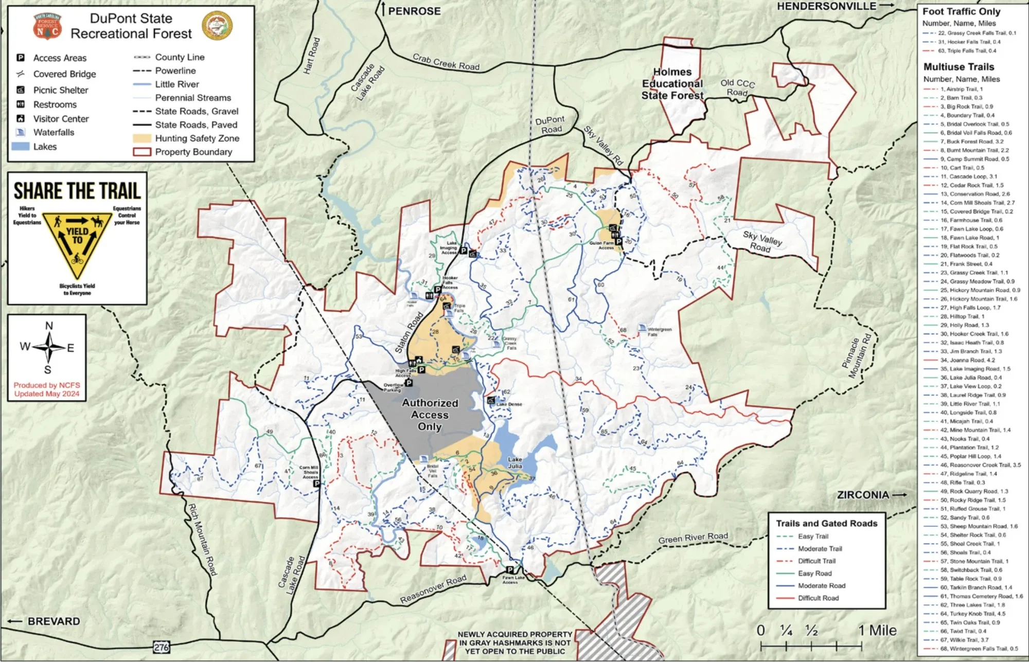
NC Forest Service trail map of DuPont State Recreational Forest, showing Lake Julia and the Fawn Lake access
Map: NC Forest Service, updated May 2024. Tap or click to enlarge.
Beginner ~28 min to Fawn Lake · 7 to 10 mi · rolling · mostly non-technical

DuPont Fawn Lake to Lake Julia

A scenic, fitness-oriented ride for newer riders easing into DuPont. Starting from the Fawn Lake access, this loop mixes gravel and smooth singletrack over rolling terrain, with big lake views as the payoff. Most people make it a 7 to 10 mile loop depending on whether you tag extra spurs and viewpoints.

The terrain is mostly non-technical: doubletrack, old roads, and easy singletrack with modest grades and only occasional roots. It is a great way to get real trail miles and lake scenery without the rocks and steeps that define the harder rides here. Good for building fitness and confidence before you take on the flow descents.

Group 2

Intermediate

Real mountain biking, with flow, some roots, and a few rocks, but still on the friendly side. This is the heart of DuPont riding and the step most people take before Pisgah.

Intermediate ~15 min to Lake Imaging · 6 to 8 mi · ~700 to 1,000 ft climbing · flow

DuPont Ridgeline Loop from Lake Imaging

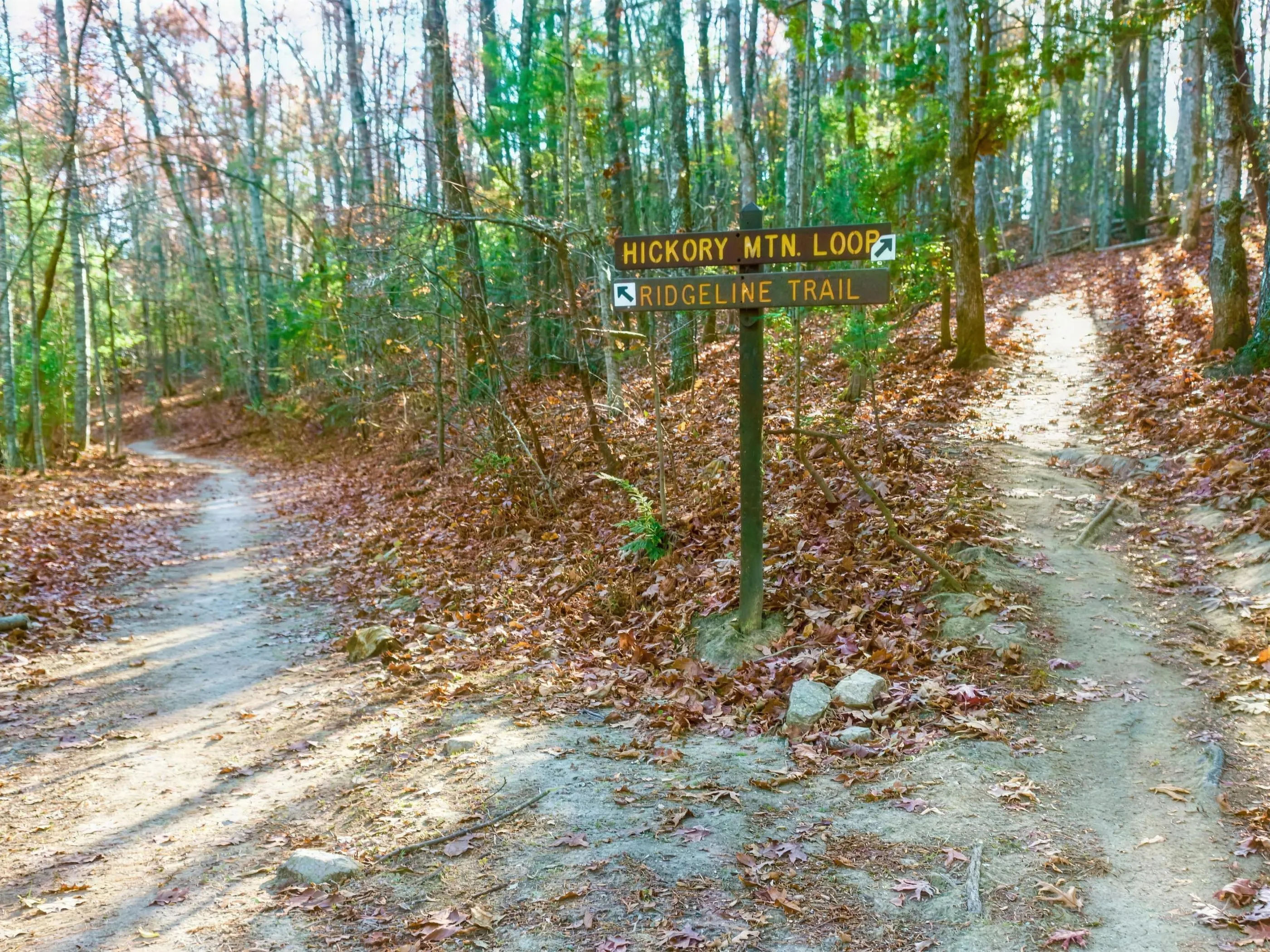
If you ride one trail in DuPont, make it this one. Ridgeline is regularly called one of the best intro flow descents in the Southeast, and the loop from Lake Imaging is the classic way to ride it. You climb on forest road and manageable singletrack, then earn a fast, machine-built-style descent: rollers, berms, and smooth sailing with no big rocks to scare you.

A typical loop runs Lake Imaging to Jim Branch to Buck Forest Road to White Pine to Hooker Creek and back down Ridgeline, around 6 to 8 miles with 700 to 1,000 feet of climbing depending on how you link it. Jim Branch throws one rock garden at you early as a wake-up, but the rest is approachable. This is the ride that makes people fall in love with DuPont. Smooth, fast, and grin-inducing the whole way down.

Intermediate ~15 min to Lake Imaging · 10 to 14 mi · 1,500+ ft climbing · longer flow

DuPont Ridgeline + Hickory Mountain Combo

This is the second-day DuPont ride, for when you loved Ridgeline and want more of the same with bigger miles. Build off the Lake Imaging and Ridgeline loop and add the descents around Hickory Mountain to stretch it to 10 to 14 miles with 1,500 feet or more of climbing, depending on how you connect trails.

It is still flow in DuPont terms, but the descents run longer, the speeds get higher, and the cornering and roots ask a bit more of you than the basic Ridgeline loop. Same smiles, more miles. A great way to spend a full day in DuPont once the first loop has your confidence up.

Advanced Intermediate ~20 min to Corn Mill Shoals · 7 to 9 mi · granite slickrock · advanced intermediate when dry

DuPont Big Rock & Cedar Rock

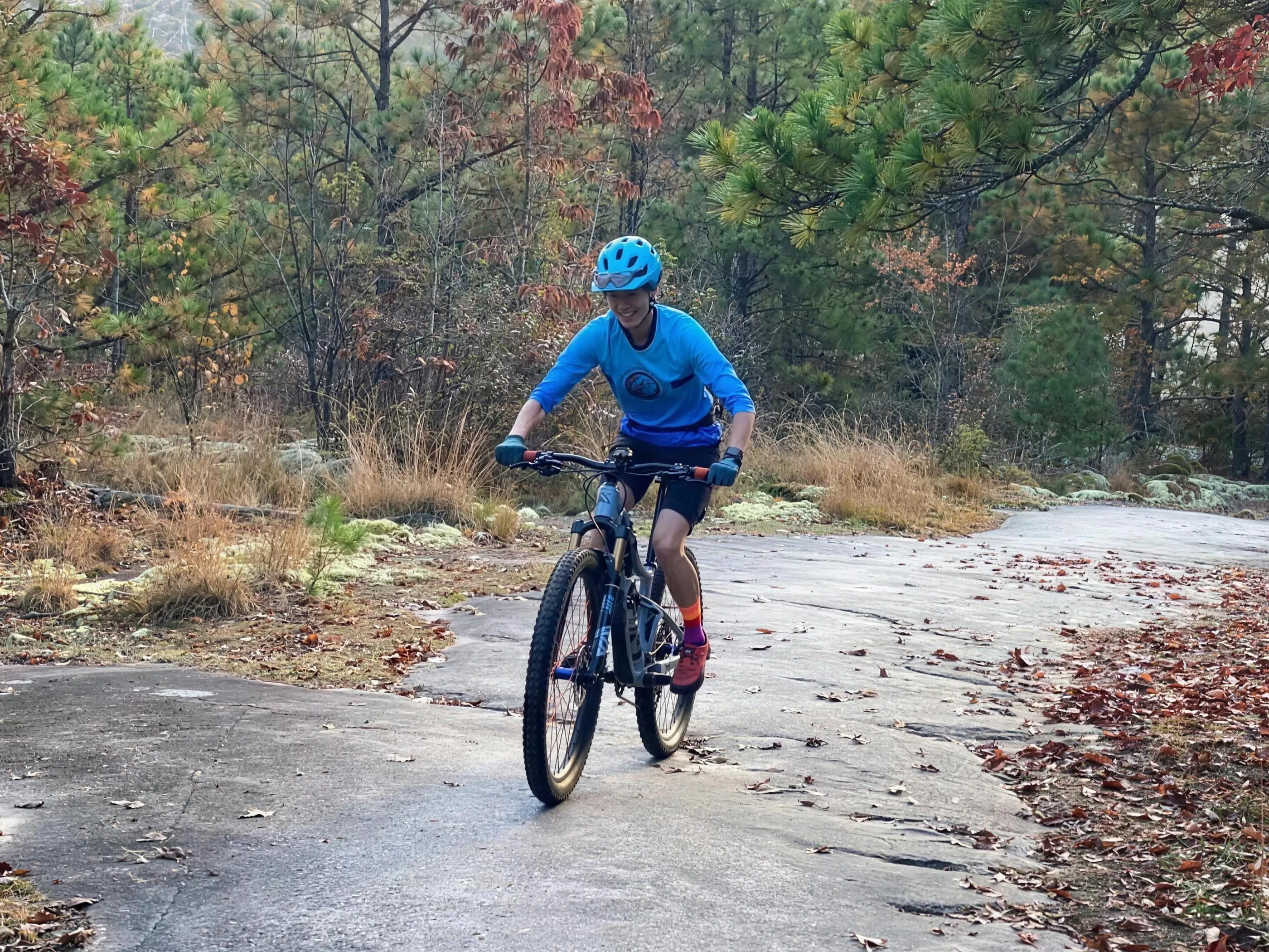
This is the moon-rock ride, and it feels nothing like the forested flow trails. From the Corn Mill Shoals access you climb punchy grades onto wide granite slabs and ride open, fast rock descents with big views. Big Rock and Cedar Rock together make a roughly 7 to 9 mile loop. Adding Burnt Mountain makes it longer, steeper, and more technical.

The riding here is unique: wide granite faces, off-camber slabs, and transitions between rock and dirt, with some ledges and steeps. It is advanced-intermediate when the rock is dry and genuinely serious when it is wet, because granite gets slick fast. Save this one for a dry day, and take Big Rock at a pace that keeps you behind the bars, not over them. The payoff is some of the most distinctive riding in the region.

Intermediate ~26 min to Bracken Preserve · 5 to 7 mi · climb-heavy · roots and some rock

Bracken Mountain Preserve Lariat

Bracken is Brevard's backyard grinder, and you can pedal to it right from Main Street. It is more about fitness than technical skill, with a chunky, sustained climb right out of the gate and a fun, somewhat raw descent to finish. Common loops run 5 to 7 miles.

The trail has roots, some rocks, and tight singletrack. It is less brutal than deep Pisgah, but it still feels like real mountain biking, not a manicured flow trail. Coffee downtown, a solid climb, and a rewarding drop back into town makes a great morning. A good bridge ride between DuPont flow and true Pisgah tech.

Intermediate ~48 min to Hard Times Trailhead (the farthest ride here, near Asheville) · 5 to 10 mi · gentle singletrack

Bent Creek (Explorer / Pinetree / Deerfield)

Worth knowing up front: this is the farthest ride in this guide. Bent Creek sits up near Asheville, a fair bit beyond the DuPont and Pisgah trailheads, so it is a destination day rather than a quick spin from the house. But it earns a spot because it is what a lot of locals recommend when someone says they want real singletrack but are not ready for full-on Pisgah.

The flatter half of the Bent Creek system, the Explorer, Pinetree, and Deerfield loops, is gentle, rolling singletrack that is easy to build into 5 to 10 mile loops with mellow climbs and descents. The surface is flowing dirt with roots here and there, but it is intentionally one of the tamest real-trail options in the area. A good call if you want to log relaxed singletrack miles and do not mind the longer drive.

Group 3

Advanced

Now you are in Pisgah proper. These rides are rockier, steeper, and more committing, with real backcountry feel. Full-suspension and solid skills recommended, and expect to hike-a-bike a section or two.

Advanced ~29 min (Fish Hatchery / FS 475) · 8 to 10 mi · gravel climb + singletrack descent

Pisgah Cove Creek Loop

Current Status · Road Closure

Davidson River Road (FS 475) had a bridge-replacement closure between the Cove Creek Group Campground and the Daniel Ridge trailhead through 2025 into 2026. As of fall 2026, recent visitor reports (September 2026) say both bridges are rebuilt and the road is open again, though closure signs may still be posted. Confirm current status with the Pisgah Ranger District (828-877-3265) before you plan this ride.

Cove Creek is often recommended as one of the more approachable Pisgah classics for riders stepping up from DuPont. It usually starts from the Pisgah Center for Wildlife Education and Fish Hatchery area, with a big but steady gravel climb followed by a long, scenic singletrack descent along creeks and forest. Plan on roughly 8 to 10 miles.

It is rowdier than anything in DuPont, with roots, water bars, creek crossings, and some narrow bench cut, but it sits on the tamer side of Pisgah's spectrum, which is what makes it a good first real Pisgah ride. Watch the trail signs carefully where Cove Creek meets Caney Bottom, since Caney Bottom is closed to bikes. Bear right to stay legal and on route.

Advanced ~20 min to Ranger Station · 3 to 5 mi · steep climb + techy descent

Pisgah Sycamore Cove

Sycamore Cove is a short, intense Pisgah sampler that starts right by the Pisgah Ranger Station, just a few minutes up the road. Do not let the low mileage fool you. In 3 to 5 miles it packs steep climbing, tight switchbacks, root webs, and a techy ridge-style descent that delivers true Pisgah character: roots, off-camber corners, some exposure, and narrow bench cut.

A lot of riders climb via Grassy Road and descend Sycamore to keep it fun and avoid a grindy uphill tech-fest. It is a great way to taste what Pisgah is about without committing to a huge day, and a good gauge of whether you are ready for the bigger rides. Full-suspension and confidence on roots will both help here.

Group 4

Expert

The big one. This is a full-commitment day for strong, experienced riders only, with everything Pisgah is famous for and consequences to match.

Expert ~20 min to Pisgah Ranger Station · 25 to 40 mi · 4,000 to 6,000+ ft climbing · expert only

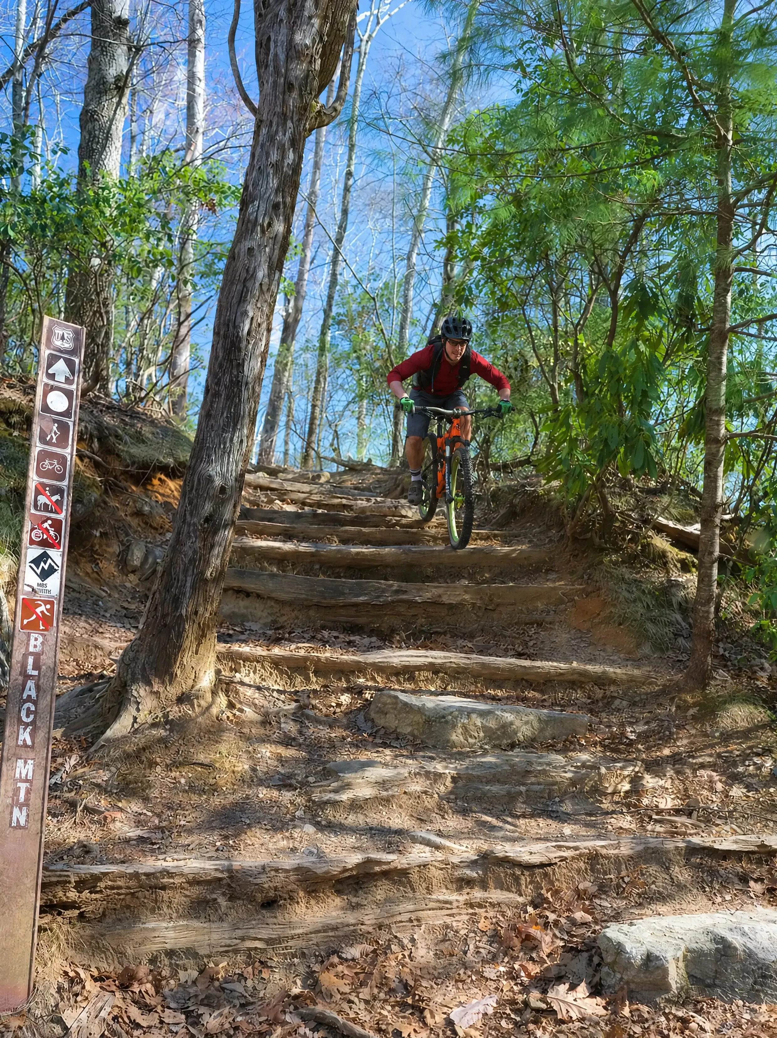
Pisgah Black Mountain Big Day

This is the die-hard's day, inspired by the kind of big, stacked routes the Pisgah Stage Race uses around Black Mountain and Squirrel Gap. The ingredients are a long fire-road or singletrack climb followed by serious descents on trails like Black Mountain, Avery Creek, Bennett Gap, and linked ridgelines. Strung together, you are looking at 25 to 40 miles and 4,000 to 6,000 feet or more of climbing.

This is everything Pisgah is known for: extended technical descents, rock gardens, root webs, drops, tight corners, and real exposure. It is for expert riders only, with the fitness for a huge day and the skills to ride committing terrain when you are already tired. Carry tools, food, water, and a plan, because cell service is spotty to none out there. Do it right and you will be grinning and wrecked back at camp, ready for the hot tub.

Good to Know

Before you ride

  • Pisgah rides harder than its rating. A blue here often rides like a black elsewhere. Start in DuPont, then step up.
  • Check current trail and road status. Helene recovery is ongoing. DuPont still has the Grassy Creek and Turkey Knob bridges out, and Pisgah's FS 475 has an active bridge-replacement closure near Cove Creek. Verify before you go.
  • Know the bike rules. In DuPont, Hooker Falls, Triple Falls, and Grassy Creek Falls trails are closed to bikes. In Pisgah, several connectors like Caney Bottom are hiker-only. Read the signs.
  • Bring the right bike. Full-suspension is recommended for Pisgah and helps in DuPont. Granite slabs at Big Rock and Cedar Rock get dangerously slick when wet.
  • Carry the essentials. Water, tools, a tube, and a downloaded offline map. Cell service is spotty to none in both forests.
  • No e-bikes in DuPont. They are not allowed on DuPont trails.
  • Use the local shops. Brevard has excellent bike shops for rentals, repairs, demos, and current trail beta. They know what is riding well right now.

On the Trail

Ride within your limits

  • Pisgah descents have exposed sections with real drop-offs. Walk what you are not sure of. There is no shame in a hike-a-bike.
  • Wet roots and wet granite are the two most common ways people go down here. Slow down when it is damp.
  • Yield to hikers and horses. These are shared, multi-use trails, and horses spook. Say hello so they know you are human.
  • Streams rise fast after rain, and several routes have creek crossings. Do not cross water that looks high or pushy.
  • Tell someone your plan and your route, especially on the bigger Pisgah days. Spotty cell service means self-rescue is often the reality.

Reference

Pick your ride

All 10 rides side by side. Click a ride name to jump to its section above.

Ride Level Drive Time
Brevard Greenway Beginner ~18 min
Fawn Lake to Lake Julia Beginner ~28 min
Ridgeline Loop Intermediate ~15 min
Ridgeline + Hickory Intermediate ~15 min
Big Rock & Cedar Rock Adv. Intermediate ~20 min
Bracken Preserve Intermediate ~26 min
Bent Creek Intermediate ~48 min (farthest)
Cove Creek Loop Advanced ~29 min (see note)
Sycamore Cove Advanced ~20 min
Black Mountain Big Day Expert ~20 min

You Already Know the Trip You Want

An early start. A big day outside. Then a hot shower and a quiet night when you get back.

That's the trip. You just need the right place to do it from.

We'll help you sort out the plan before you get here. You bring the bikes, boots, rods, and the dog.